Keqiao Climate characteristics
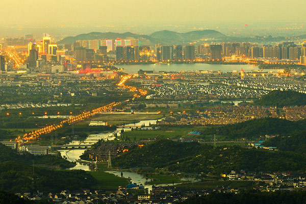
Keqiao District is located in the north-central part of Zhejiang Province, in the north of Shaoxing Plain and in the south by the Kuaiji Mountains. The climate is mild, the four seasons are distinct, the rainfall is abundant, and the precipitation time distribution is seasonal. It belongs to the East Asian monsoon region and has a significant monsoon climate.
The annual average temperature is 17.0 °C, the lowest annual average temperature is 15.8 °C, which appeared in 1984; the highest annual average temperature is 18.7 °C, which appeared in 2007; the coldest month is January, and the lowest monthly average temperature is 0.3 °C, which appeared in January 1977. . The warmest month is July, and the highest monthly average temperature is 31.6 °C, which appeared in July 2003. The historical extreme maximum temperature of 39.9 ° C appeared on July 17, 2003 and July 19, 2009. The historical extreme minimum temperature of -10.2 ° C appeared on December 29, 1991.
The annual average rainfall is 1469.8mm, the maximum annual rainfall is 1806.2mm, which appeared in 1975; the minimum annual rainfall is 911mm, which appeared in 1967. The flood season is mainly concentrated from May to October. The annual average rainy day is 158.6 days, and the annual maximum rainy day is 227 days; the annual minimum rainy day is 134 days. The annual average relative humidity is 78.9%. The average annual sunshine hours is 1803.9 hours. The main meteorological disasters are: typhoon, heavy rain, strong wind, thunderstorm, high temperature, low temperature and continuous rain, hail, cold wave and so on.
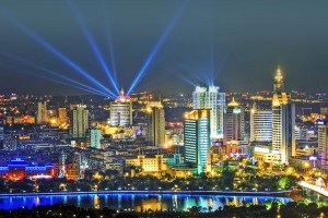
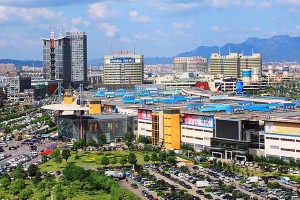
Keqiao District is located in the north-central part of Zhejiang Province, north of Shaoxing City, and the north of Huiji Mountain.
Keqiao, located in the Yangtze River Delta South Wing, East and Shangyu zoneboundary, southeast and southwest respectively, Shengzhou City, Zhuji City, is adjacent to the west and northwest of the Hangzhou City, Xiaoshan District, which borders the town of town of Kuala Lek town, mountains and Nga and other party In the north of Hangzhou Bay, the abdomen is across the city, and the geographical position is 29°42’02″ to 30°19’15″ north latitude and 120°46’39″ east longitude.


